Volusia and Flagler Counties, FL - Despite the fact that Hurricane Hermine passed several hundred miles to the west and north of our area, Volusia and Flagler Counties saw severe thunderstorms, heavy rainfall, and strong wind gusts. However our area did escape the brunt of the storm and suffered no significant damage.
"Here and east-central Florida we saw typically sustained winds on Thursday night into Friday morning between 20 to 25 miles per hour," said Will Ulrich, Forecaster with the NWS in Melbourne. "And anytime those heavier showers moved through we saw winds between 35 to 45 miles per hour."
According to Ulrich, DBIA reported wind speeds of up to 40-45 mph on Friday morning and in Flagler Beach wind speeds got up to 45-50 mph. "All in all, rainfall totals were confined mainly to 1 to 2 inches and wind speeds were between 40 to 45 miles per hour... for the most part," he added.
Ulrich said this is the first time in 10 to 12 years that our area has been affected by a tropical system, but he was quick to add that "most locations in Flagler and Volusia County were unscathed in terms of wind damage from Hurricane Hermine."
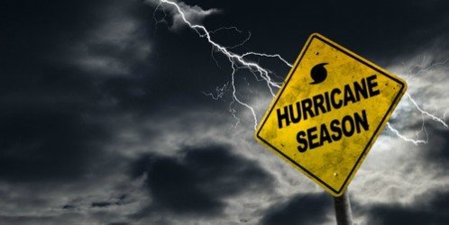
"We're about 1 week away from the peak of hurricane season," warned Ulrich. "Hermine serves as a reminder to all residents and visitors of east-central FL that we have to be prepared for the potential for a tropical cyclone this time of year. So if you don't have a plan, now is the time to think about what you and your family would do the next time we're threatened by a hurricane because it's not a matter of if, it's a matter of when."
Copyright Southern Stone Communications 2016.


