
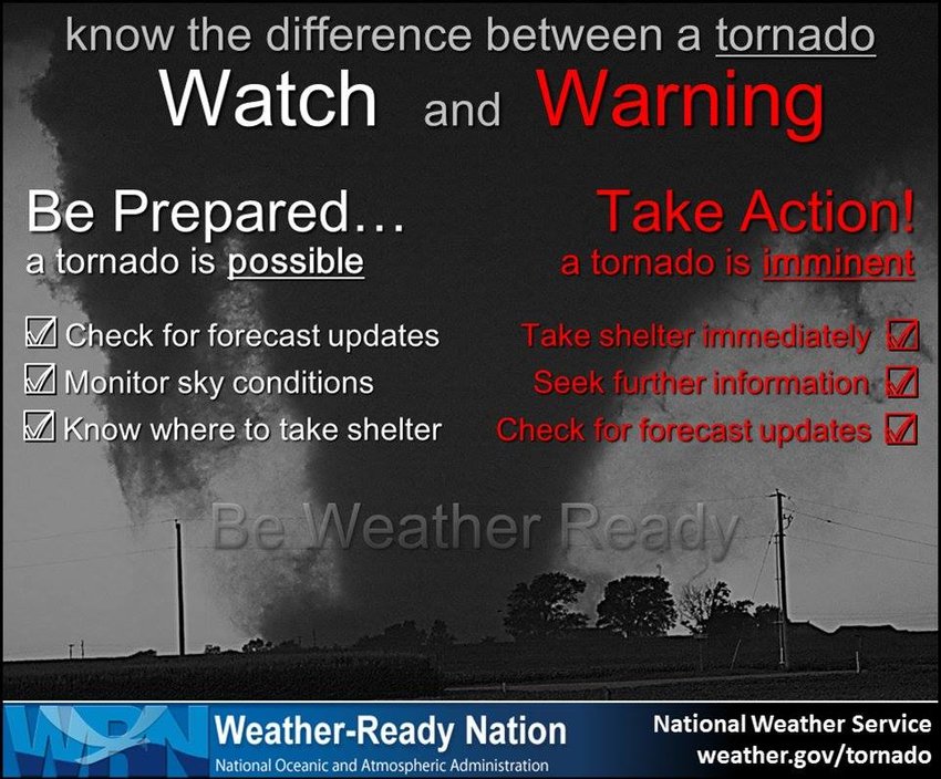
Volusia and Flagler Counties, FL - The National Weather Service has issued a Tornado Watch across East Central Florida, which includes Volusia and Flagler counties, and raised the threat level for severe weather.
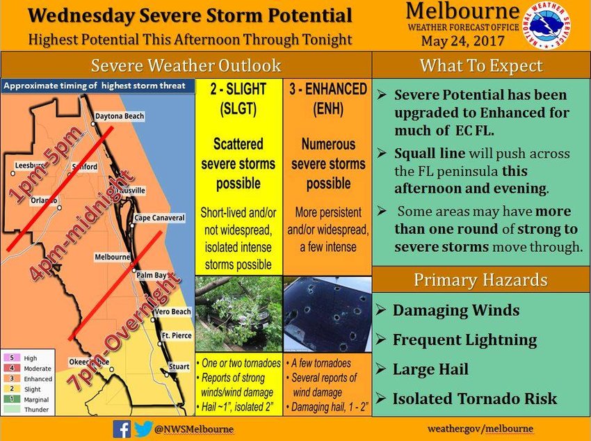
The risk for organized severe storms has been upgraded from slight to enhanced for much of the region.
The threat for severe weather will remain low through the late morning, but showers and storms are expected to organize in the early afternoon (1-2 PM). The threat for severe storms will increase through about 5 PM, and it will shift southward across Osceola and Brevard Counties through about 8 PM.
Storm threats include tornadoes, damaging wind gusts in excess of 57 mph, large hail, frequent lightning strikes, and torrential downpours of 1 to 3 inches in a 60-90 minute period across much of the area. Those heavy rainfall amounts will be beneficial for areas suffering from moderate to severe drought conditions.
Poor wind and sea conditions over the Atlantic will get worse overnight Wednesday and into early Thursday, with strong and gusty southwest winds up to 25 knots building seas to 4-6 feet near the shore and 6-8 feet well offshore. Several rounds of showers and storms will move quickly off the coast and near the shore waters through Wednesday night, posing an additional threat to small craft operators.
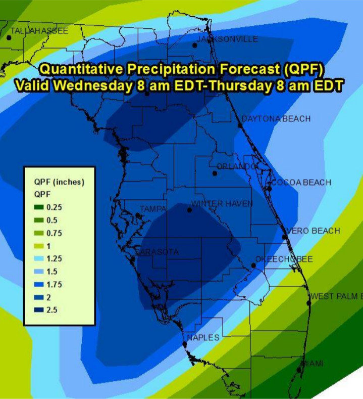
Images courtesy the National Weather Service Melbourne.
Copyright Southern Stone Communications 2017.


